Two big days in a row — both sides of one of Europe's oldest Alpine passes in a single ride, then a second climb up the Valpelline to the Place Moulin reservoir.
The Grand St Bernard Pass has been a route over the Alps since Roman times — the hospice at the top has sheltered travellers (and given its name to the St Bernard dog) for nearly a thousand years. In September 2021 I rode two big days here, back to back: both sides of the pass in one ride on the 17th, then a second, completely different climb on the 18th, up the Valpelline valley to the Place Moulin reservoir above Bionaz. They're two separate rides, so they're written up separately below, each with its own route map.
It's a really nice climb just outside the summer months of July and August, when it's pretty quiet, and it's quite a challenge, especially if you do both sides. Both these rides were in mid-September.
Ride 1: Grand St Bernard, both sides in one ride — 17 September 2021
Up the Swiss side
I set off at 09:51 from L'Hospitalet, above Bourg-Saint-Pierre on the Swiss side, at about 1,940m. From there it's 6.7km to the top, and it's steep all the way: 531m of climbing at an average of under 9km/h. I was at the summit, 2,470m, by 10:37.
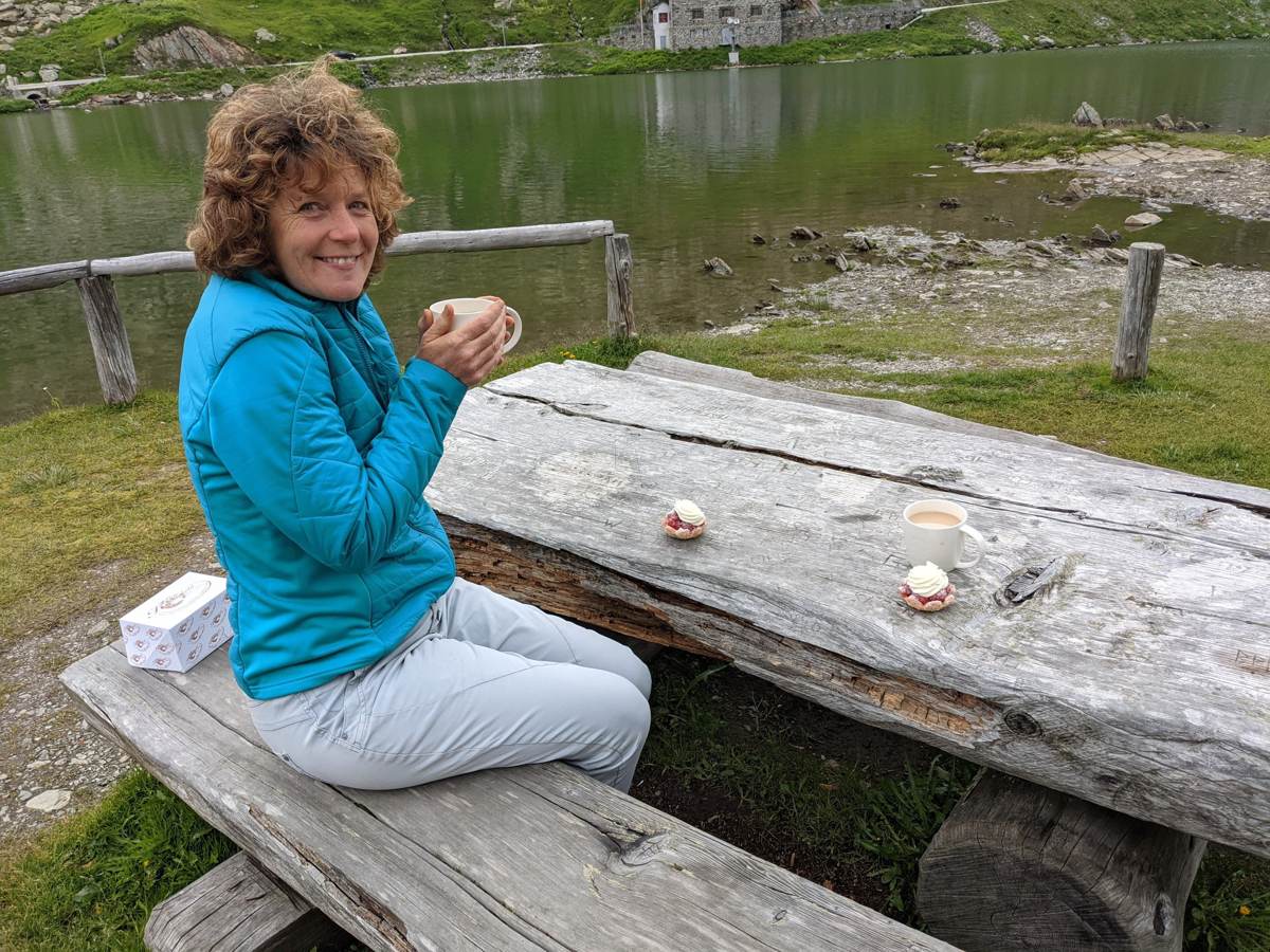
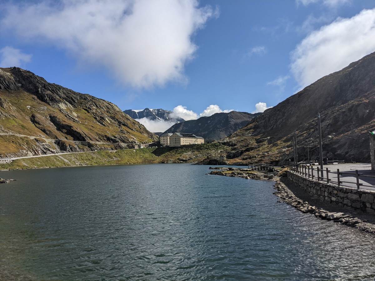
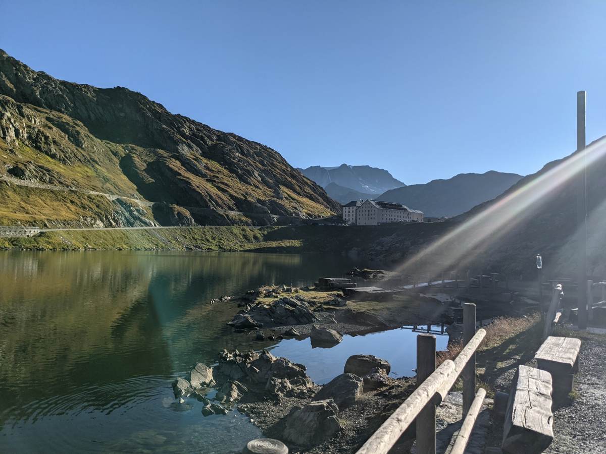
The top is the lake, the hospice and the border all in one place. I had a break of about three quarters of an hour up there and took a few photos before heading over to the Italian side.
Down the Italian side to Gignod
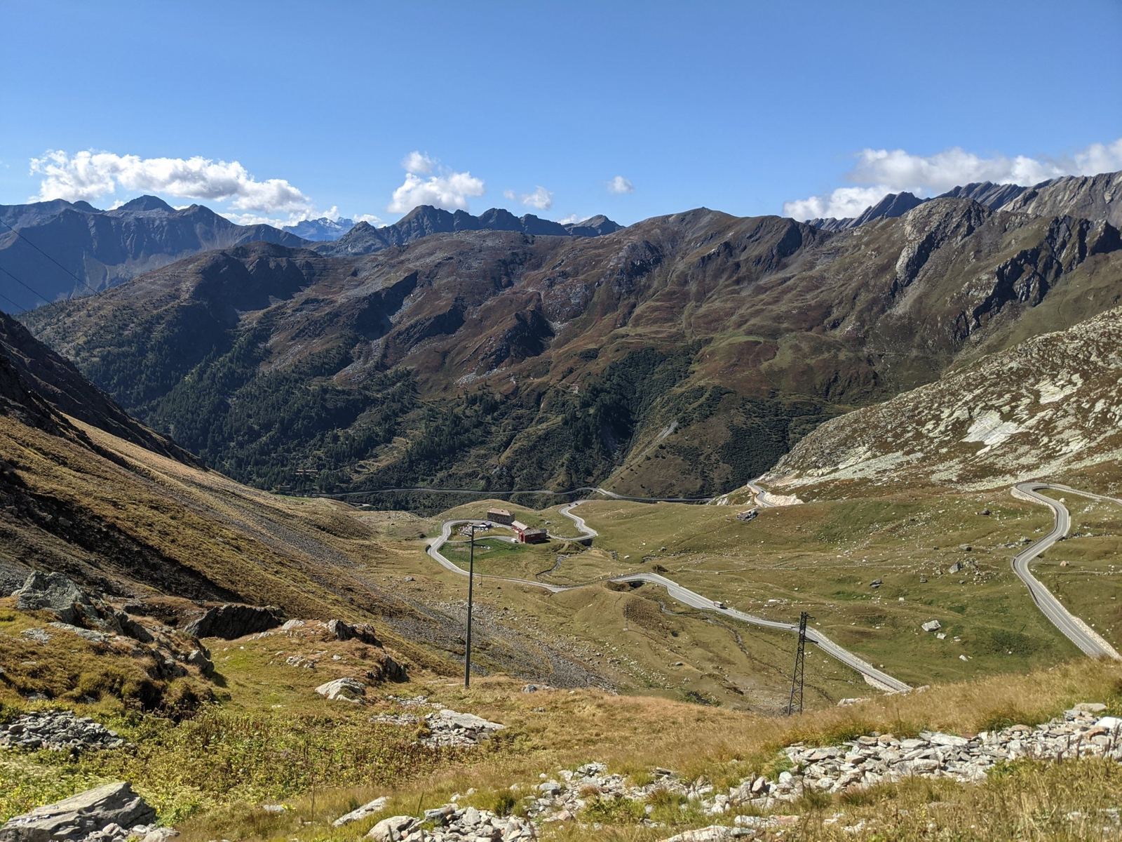
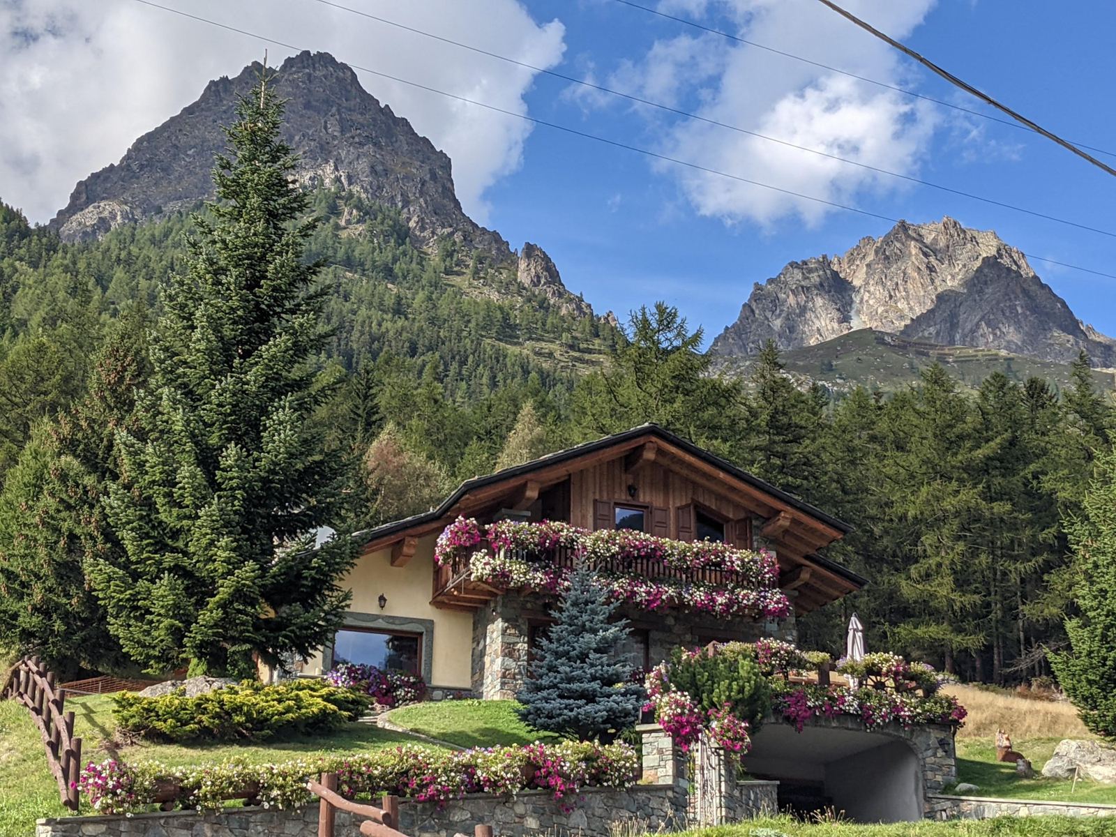
At 11:23 I rolled off the top and down the Italian side, through the hairpins below the summit (the photo at the top of this page), then on past Saint-Rhémy-en-Bosses, Saint-Oyen and Étroubles to Gignod, above Aosta. That's about 26km and close to 1,500m of descent in roughly 40 minutes, with a top speed of 61km/h. By 12:05 I was down at the lowest point of the day, 975m.
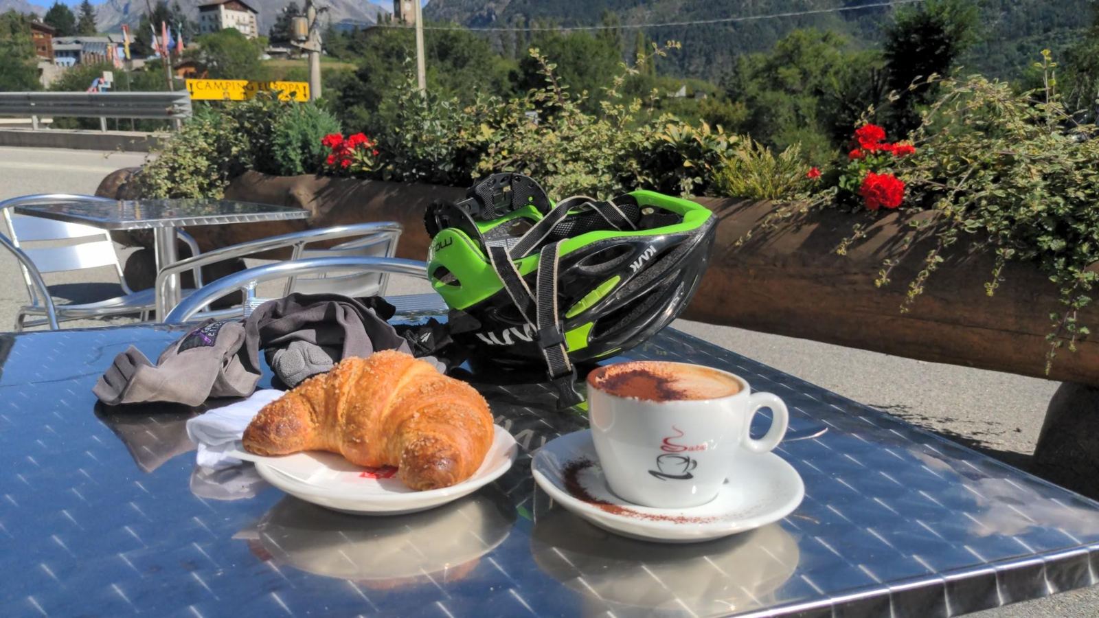
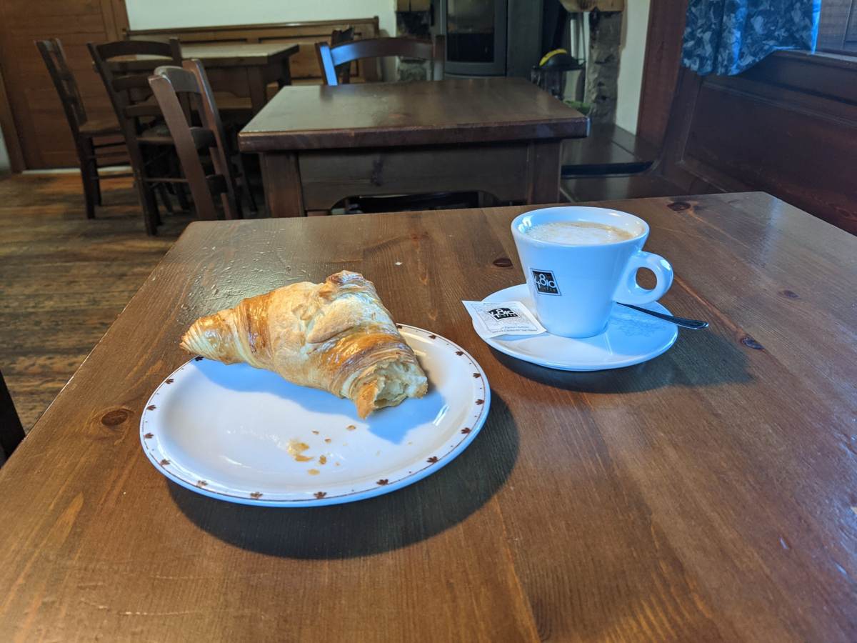
Gignod meant the obvious thing: coffee and a croissant in the sun, at 12:15. With that and the other stops, I was off the bike for about an hour on this half of the ride.
Back up the Italian side
Then the hard part: the whole Italian side back up, the same road in reverse. Back through Étroubles at about 13:15 and Saint-Oyen by 13:30, passing 1,600m at around 14:05 and 1,900m at 14:40. This is where the ride's note comes from: "Something always happens when you do the long hard climbs. Stunning scenery on the Italian side. Knackered by the time I reached the top."
The something was the phone. It died at 15:09, at about 2,170m above Saint-Rhémy-en-Bosses, with roughly 300m of climbing still to go — which is why the ride is logged as "Grand St Bernard. Mobile died." I still rode on to the top, but that last stretch isn't in the recording. The recording is also in two parts, split at the summit, so Strava shows the Swiss side and the Italian side as two activities, even though it was one ride.
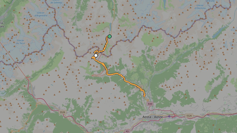
Ride 1 route, from my own GPS track
Ride 2: Gignod to the Place Moulin reservoir above Bionaz — 18 September 2021
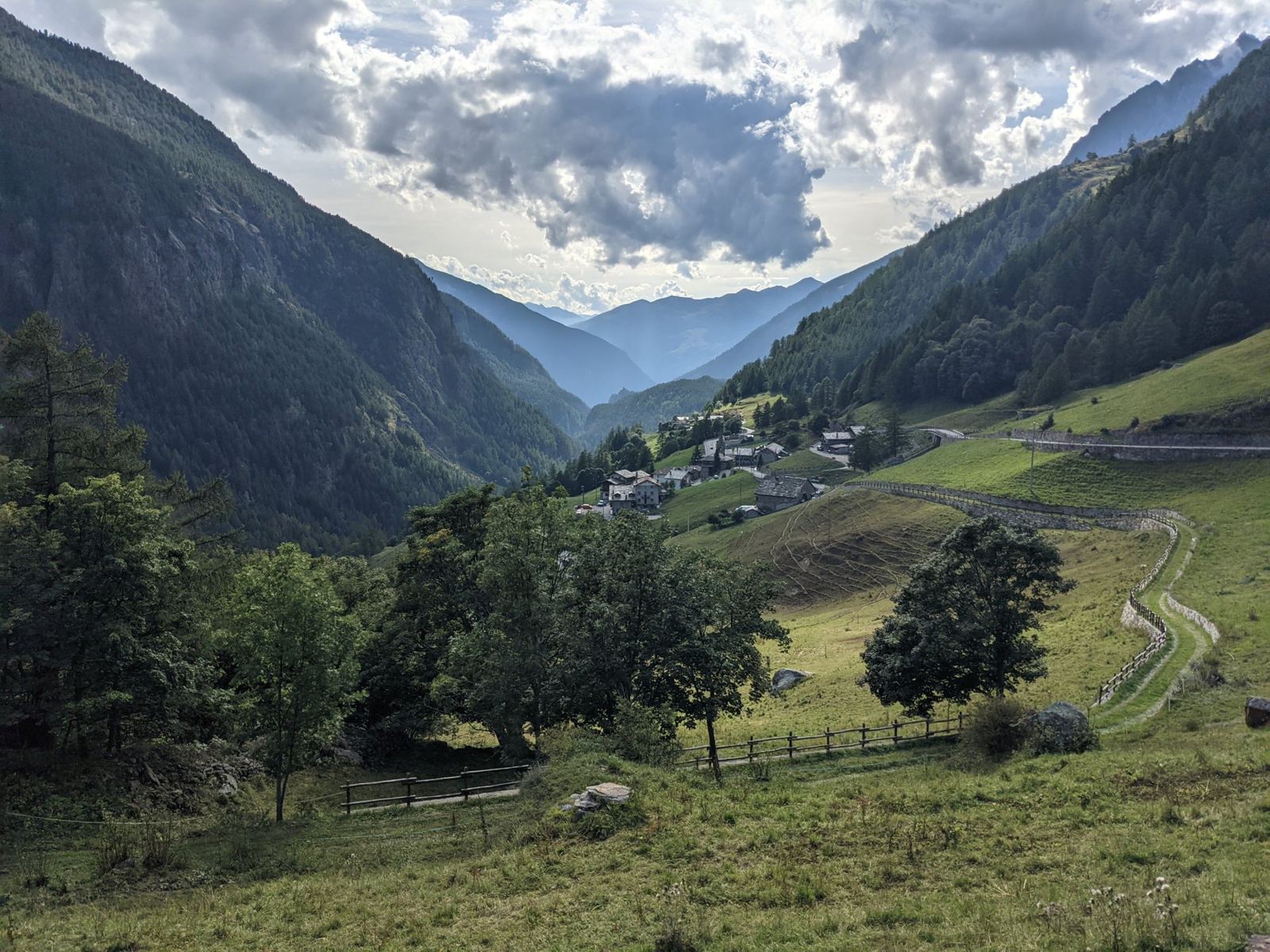
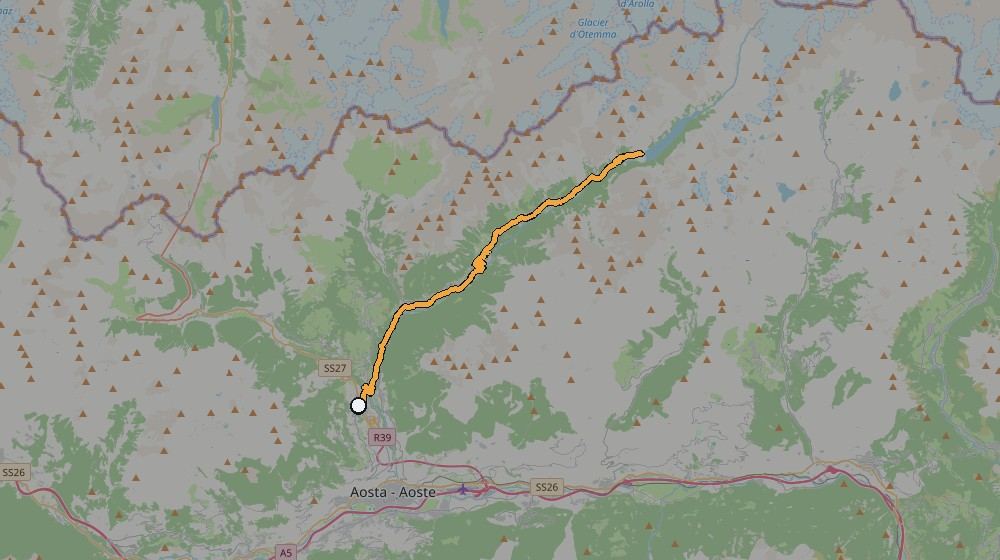
The next day was a different valley altogether. Instead of the pass, I rode north-east from Gignod up the Valpelline, the long side valley that runs up towards the Swiss border and ends at the Place Moulin reservoir. My own note sums it up: "Stunning scenery all the way up the valley to the reservoir. Beautiful and preserved old Italian houses with breathtaking views. Great area to ride if you like mountain climbs."
Up the Valpelline
I set off from Gignod at 12:55. There's a short drop first, down to 805m at the bottom of the valley, and then it climbs almost the whole way: Roisan by 13:10, Valpelline by 13:30 at about 1,065m, Oyace at 14:00 at 1,350m, and Bionaz at 14:35 at 1,610m. Unlike the pass, it isn't one long wall. It's a steady valley road that keeps going up, village after village, with the old stone houses the note talks about.
The reservoir
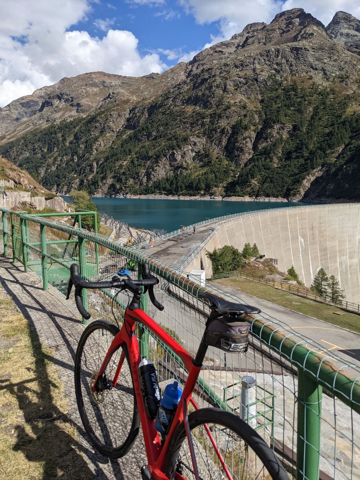
Above Bionaz the road reaches the Place Moulin dam and then carries on along the side of the reservoir. I rode to the far end, the highest point of the day at just under 2,000m, and stopped there for a good half hour with the bike and the view.
Back down the valley
At about 15:55 I turned round and rode back down the same road, past Bionaz again at 16:10 and Valpelline by 16:35, and back in Gignod at 17:04. Going down is fast, with a top speed of 60km/h, but I stopped a couple of times for photos on the way.
Ride 2 route, from my own GPS track
Around the rides
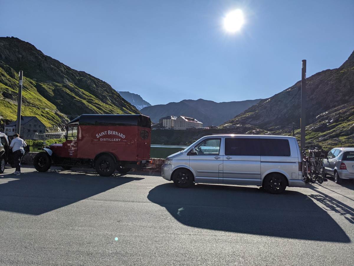
A couple more photos from the pass itself. The morning after Ride 1, on 18 September, I was back at the summit early, before Ride 2:
And from earlier visits to the pass that summer, in August 2021: